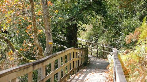
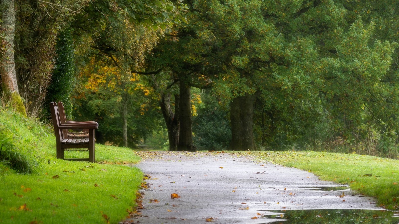
Two communities with identical house plans can feel completely different to live in. The difference is placemaking: the street network, the walking distances, the public spaces and the transitions between them.
Why Two Similar Communities Feel Different
You can visit two new communities with comparable houses, comparable lots and comparable prices, and come away feeling quite differently about them. One feels like somewhere people live. The other feels like houses that happen to be next to each other.
The difference usually is not the houses. It is everything between them: how the streets connect, how far you have to walk to reach anything, where the public spaces sit, and whether the edges of the community meet what surrounds them gracefully or abruptly. The discipline that handles this is called placemaking, and in a planned community it is a deliberate design exercise rather than something that accumulates by accident.
If you want the broader definition first, our article on master-planned communities covers the concept. This one is about the design thinking inside it.
The Street Network Is the Main Decision
How streets are laid out shapes almost everything else about daily life in a community.
A connected network, where streets link to one another and offer multiple routes between two points, tends to produce shorter walking distances, spread traffic more evenly and make the community legible to people who do not already know it. A network built mainly on long cul-de-sacs feeding a single collector road does the opposite: it concentrates traffic, lengthens trips and can make a destination that is close in a straight line awkward to reach on foot.
Neither is automatically right. Cul-de-sacs produce quiet frontages that many families value. The point is that the choice has consequences, and you can read them off a site plan before you buy.
Walking Distance Is the Honest Test
Planners talk about the walkable catchment, and the ordinary version of that idea is simple: what can you reach on foot without it becoming a decision?
Most people will walk comfortably for a few minutes to reach something ordinary. Beyond that, they drive, regardless of what they intended when they moved in. So the practical question is what sits inside that radius. A park. A school. A community centre or a library. Somewhere to buy a few things.
This is where existing amenity matters far more than planned amenity, because a facility that already exists is certain and one that is proposed is not. Our article on schools and parks near the community sets out what is already in place here, and Living in Vaughan covers the wider picture.
Public Space That Gets Used
Every community has open space on the plan. Whether it gets used depends on characteristics that are easy to overlook.
Space that is visible from homes and streets tends to be used, because people feel comfortable in it. Space tucked behind rear fences, reachable only by a path between two properties, often is not. Size matters less than people assume: a small park that is overlooked and easy to reach will see more life than a larger one that is isolated.
The same applies to the small spaces: a widened corner, a bench where two paths meet, a tree canopy that makes a walk pleasant in August. These are the details that separate a community people walk around from one they drive through.
Transitions and Edges
A thoughtful plan pays attention to how different things meet each other.
Within the community, that means how housing forms sit together. A plan that places townhomes and detached homes in relation to one another deliberately, rather than dropping one against the other wherever the lot lines allowed, produces streetscapes that feel composed. Here, the townhomes are built by Treasure Hill, while Starlane Home Corp. and Greenpark Group build the detached homes, and the plan sets out where each sits.
At the perimeter, it means how the community meets the arterial road, the existing neighbourhood or the open space beside it. Edges handled well feel like a seam. Edges handled poorly feel like a wall.
What to Look for on a Site Plan
You do not need planning training to assess this. A few questions get you most of the way:
- Can I get from this lot to the park, the school and the shops without a long detour?
- Does the street network offer more than one route, or does everything funnel to one exit?
- Is the open space overlooked by homes and streets, or hidden behind them?
- Where are the sidewalks, and do they connect to anything beyond the community?
- How does the community meet the main road at its edge?
- Are the trees shown mature plantings or saplings, and what will the street look like in ten years?
Why It Matters Beyond Comfort
Placemaking is usually discussed as a quality-of-life question, and it is one. It is also a durability question. The characteristics that make a community pleasant to walk around are the same ones that tend to keep it desirable as it ages, because they are extremely difficult to retrofit once the streets are in the ground.
That relationship is explored further in our article on whether planned communities hold their value. For what is planned at this community specifically, the development page is the place to start.
Have Questions About Pre-Construction?
Matthew Caporiccio can help you understand pricing, deposit structures, and availability at The Valleys of Thornhill and other pre-construction projects across the GTA.