Boyd is one of the conservation lands inside Vaughan's own boundaries, which makes it an easy half-day outing rather than a road trip. Here is what to confirm before you go, and what a picnic and a walk there actually involve.
One of the quieter advantages of living in Vaughan is that some of the region's conservation land is inside the city's own boundaries. You do not have to drive to cottage country for a picnic table under mature trees and a walk in a river valley. Boyd is one of those places.
This guide is written for someone who has not been before: what the park is, what to confirm before you drive over, and how to plan a picnic and a walk that does not fall apart on arrival. We are an independent information site about new homes in Vaughan, not the park operator, so where a detail changes from season to season we will point you at the source rather than guess at it.
What Boyd is, and who runs it
Boyd is conservation land on the west side of Vaughan, in the Woodbridge area, in the Humber River valley. It is operated by the Toronto and Region Conservation Authority, usually shortened to TRCA, rather than by the City of Vaughan. That distinction matters more than it sounds.
City parks in Vaughan are generally open, free, unstaffed and reachable on foot from the surrounding streets. TRCA conservation lands are managed differently: they can have gates, seasonal opening dates, a vehicle entry fee, staffed hours, and rules about where you may and may not go. If you arrive expecting a municipal park and find a gate, that is the reason.
You will also see the same place written two ways. Older signage, older maps and older search results say Boyd Conservation Area; TRCA has been shifting its sites to the word Park. They are the same land. If you are searching for hours or directions, try both names so you do not miss the current page.
The same operator runs other properties in and near Vaughan, which is why a visit here feels familiar if you have already been to the Kortright Centre for Conservation. Same authority, same style of entry and parking, different programming.
What to confirm before you drive over
Five things change often enough that checking them is worth the two minutes. Go to the TRCA website for the Boyd page, or phone the number listed there, before you load the car:
- Whether it is open at all that day. Conservation lands can close for the season, for trail damage, for high water in the valley, or for a storm clean-up. This is the single most common way a visit fails.
- Hours. Gate hours and last-entry times are not the same thing, and they shift with the daylight.
- The entry fee and how it is paid. Expect a per-vehicle or per-person charge rather than free parking, and check whether the gate takes cards or needs an online purchase in advance. Do not assume cash is accepted.
- Whether picnic areas can or must be reserved. Some TRCA sites rent group picnic areas and shelters. If a large area is booked, it is not available to drop-in visitors, and that can reshape your afternoon.
- Dogs, fires, alcohol and washrooms. All four vary by site and by season. Washroom availability in particular is often reduced outside the warm months.
For the drive itself, put your own address into a mapping app rather than trusting a number you read online. Travel time across Vaughan varies a great deal depending on which arterial you take and what time of day it is, and a route that looks short on a map can involve a long stretch of signals.
Planning a picnic
A valley picnic has two variables you cannot control: the ground and the weather. Everything else you can plan for.
Tables, shade and a fallback
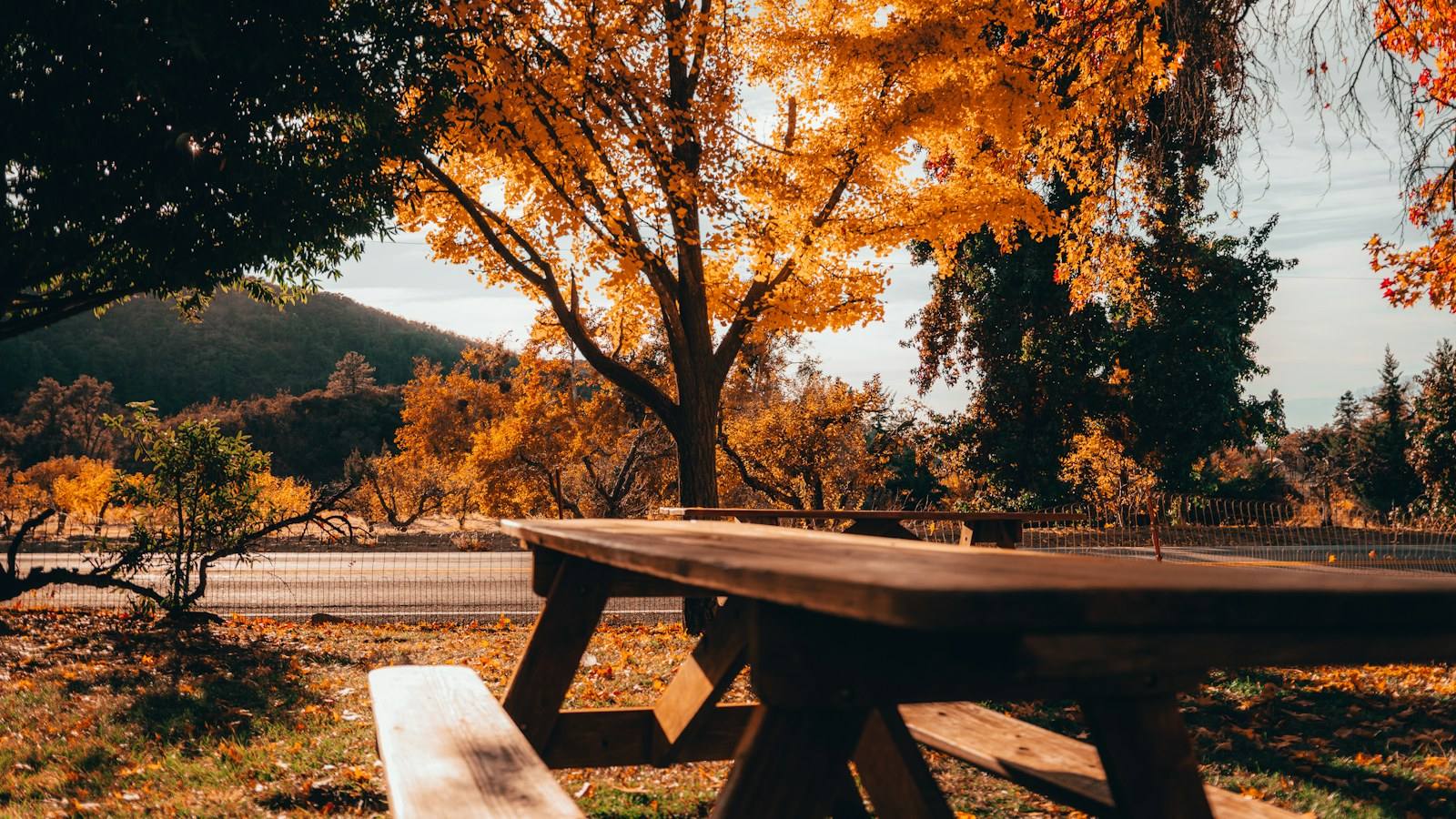
Assume you may not get the table you pictured. Picnic tables at conservation sites are first-come on non-reserved days, and the good ones, the shaded ones near a path and not far from the parking area, go first on a warm weekend. Bring a blanket as a fallback so an occupied table does not end the outing. If someone in the group cannot sit on the ground, arrive early rather than at noon.
What to bring
Water for everyone, because drinking fountains may be seasonal. A garbage bag, because carry-out is the norm in valley settings and bins fill up quickly. Sunscreen and insect repellent from late spring onward. Hand sanitizer if the washroom situation is uncertain. A cooler with a solid lid rather than an open basket, since you will be eating outdoors with wildlife nearby.
What to leave at home
Anything involving an open flame unless you have confirmed it is permitted and where. Speakers, if you want the valley to sound like a valley. Food you intend to leave for animals: feeding wildlife is both discouraged and bad for the animals.
Walking the trails
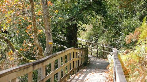
This is a river valley, not a flat tableland, so the walking is different from the sidewalk loop around your own block. Expect grade changes between the valley floor and the upper land, surfaces that range from packed gravel to bare soil, and sections that stay wet long after the rain has stopped. Footwear with grip is the difference between a pleasant hour and a careful shuffle.
A few practical habits:
- Photograph the trail map at the entrance. Valley trails intersect, and phone reception in a valley can be poorer than you expect.
- Stay on marked paths. Valley slopes erode, and informal shortcuts are how both ankles and ravine banks get hurt.
- Check yourself, your children and your dog for ticks after any walk through long grass or brush in Ontario.
- Turn around at the halfway point of your available time, not your available energy. The climb back out of a valley is the harder half.
- After heavy rain or a spring melt, treat low-lying trail sections as closed whether or not a sign says so.
Which season to pick
Late spring and early autumn are the easiest. The ground has drained, the canopy gives shade without hiding the view, and the insect pressure is lower than mid-summer. Mid-summer works if you go early in the day. Winter visits can be beautiful but depend entirely on whether the site is open and whether the paths have been cleared, and that is exactly the sort of thing to confirm by phone rather than assume. If you are in Vaughan in the cold months to look at homes as well as trails, the same observational habits apply as in a winter drive through a Vaughan neighbourhood.
How a park like this fits into a week
Be honest with yourself about frequency. A gated conservation park with an entry fee is a destination: a Saturday thing, a visiting-family thing, a few times a season. It is not where you walk the dog before work.
That everyday walking comes from what is within a few minutes of your front door, which is why it is worth looking at the two tiers separately when you are comparing communities. From The Valleys of Thornhill, for example, the nearby municipal green space includes Pioneer Park at 0.7 km, which is walkable, and Heritage Park at 0.9 km, a one-minute drive, while a larger destination such as North Maple Regional Park sits 5.0 km away, about a 15-minute drive. Boyd belongs in that second tier, further out again. A full picture of the close-in options is in our overview of schools and parks near the community.
If you are coming to Vaughan to see homes and want to understand the area as a place to live rather than a list of addresses, build a park visit into the trip deliberately. Our guides to planning a site visit day in Maple and Carrville and to spending a weekend in Maple sequence that sort of day, and the broader living in Vaughan section covers what the city offers beyond any one community. A valley you can reach in an afternoon is part of what you are buying; it is just worth knowing which afternoons.
Have Questions About Pre-Construction?
Matthew Caporiccio can help you understand pricing, deposit structures, and availability at The Valleys of Thornhill and other pre-construction projects across the GTA.